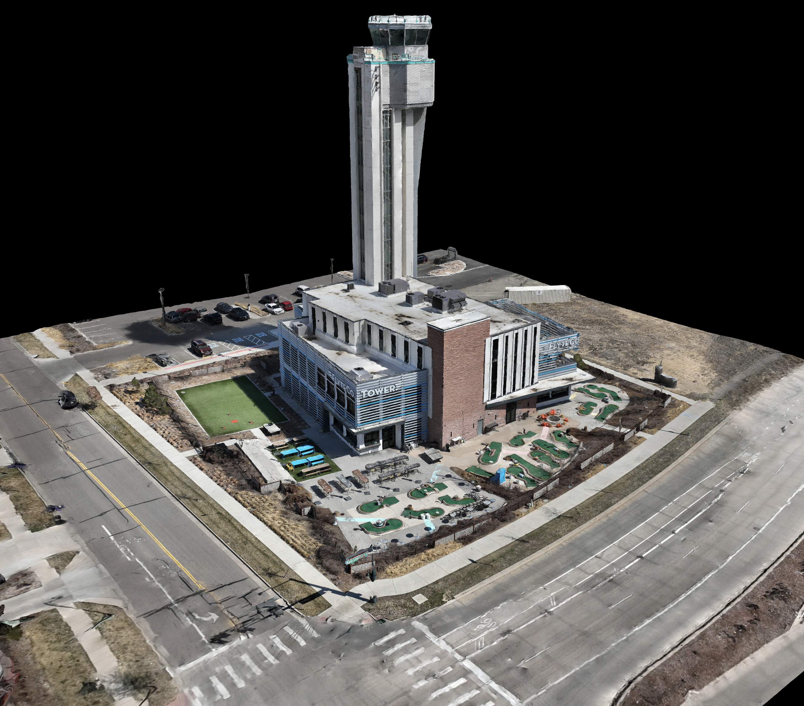
Drone technology has proven to be a powerful commercial tool, and the surveying and mapping industry has greatly benefited from it. Drones are capable of capturing data from above, making them effective in land surveys, 3D mapping, photogrammetry, topographic surveying, and more. This article provides an overview of drone surveying, including how it works, how drones collect data, and the types of drones used in surveying.
Drone surveying is a precise science that determines distances and positions between two points in 2D and 3D space. Unlike aerial photography, drone surveying provides critical information that can enable informed decision-making, ranging from construction site planning to infrastructure design and upkeep to property boundary delineation.
Drones fly above the ground and use downward-facing sensors with multispectral and RGB cameras to capture images and collect data. Some drones also feature LiDAR payloads to help collect information. Geographic Information Systems (GIS) is the primary source for collecting data in drones, and drones can interrupt data in real-time and turn raw data into actionable information.
Commercial drones with fixed-wing motors are commonly used for surveying, as they can survey a few hundred acres at a time and stay in the air longer than multirotor drones. For any 3D mapping jobs, a drone needs to have a camera that can capture 4k videos and 12 MP photos, as aerial surveying relies on photogrammetry to catalog data.
Drones are incredibly accurate and can come within two centimeters of the actual location. However, the kind of drone, camera quality, flight height, and ground cover can influence the survey results. Depending on the type of survey needed and the time to finish the job, a drone survey can cost anywhere between $30 to $120 per acre.
Drone surveying can achieve several types of deliverables, including 2D and 3D Orthomosaic Maps, 3D models, thermal maps, LiDAR point clouds, and multispectral maps. Each of these deliverables can be used in various industries, from agriculture to military bases.
In conclusion, drones are powerful tools that can enhance a surveyor’s potential in terms of speed, safety, and ROI. Incorporating drones into a surveyor’s toolkit can provide new opportunities to reach new heights and achieve better results.
Partner With Blue Nose Aerial Imaging For Drone Surveying Projects
Blue Nose Aerial Imaging is a veteran-owned drone services franchise. We are a premier full-spectrum drone services provider with years of experience with drones and the surveying industry. From Washington to Florida and New York to California – we are the only franchised commercial drone services provider in the United States. Our professional pilots would be happy to provide drone surveying services to assist you with your next project. From small-time to city-sized projects, our skills can keep up with the demand. Get in touch with our professional pilots to discuss your next drone surveying project today!


I will be purchasing land, most likely in the South East of the U.S. Do you have a franchisee in Atlanta or Tennessee? I would like a topographical/lidar map suitable for architectural design of buildings. Thank you.
1. I want a total area shot to get better answer as to total acerage of tmk 155005043 laie, oahu. If it’s 8 acres or 13.2 acres?
2. And pic of the parcel measured out into 7 portions, 5 portions to show the individual adjusted portions.
3. Estimated cost to do the task or any other situation that may arrise?